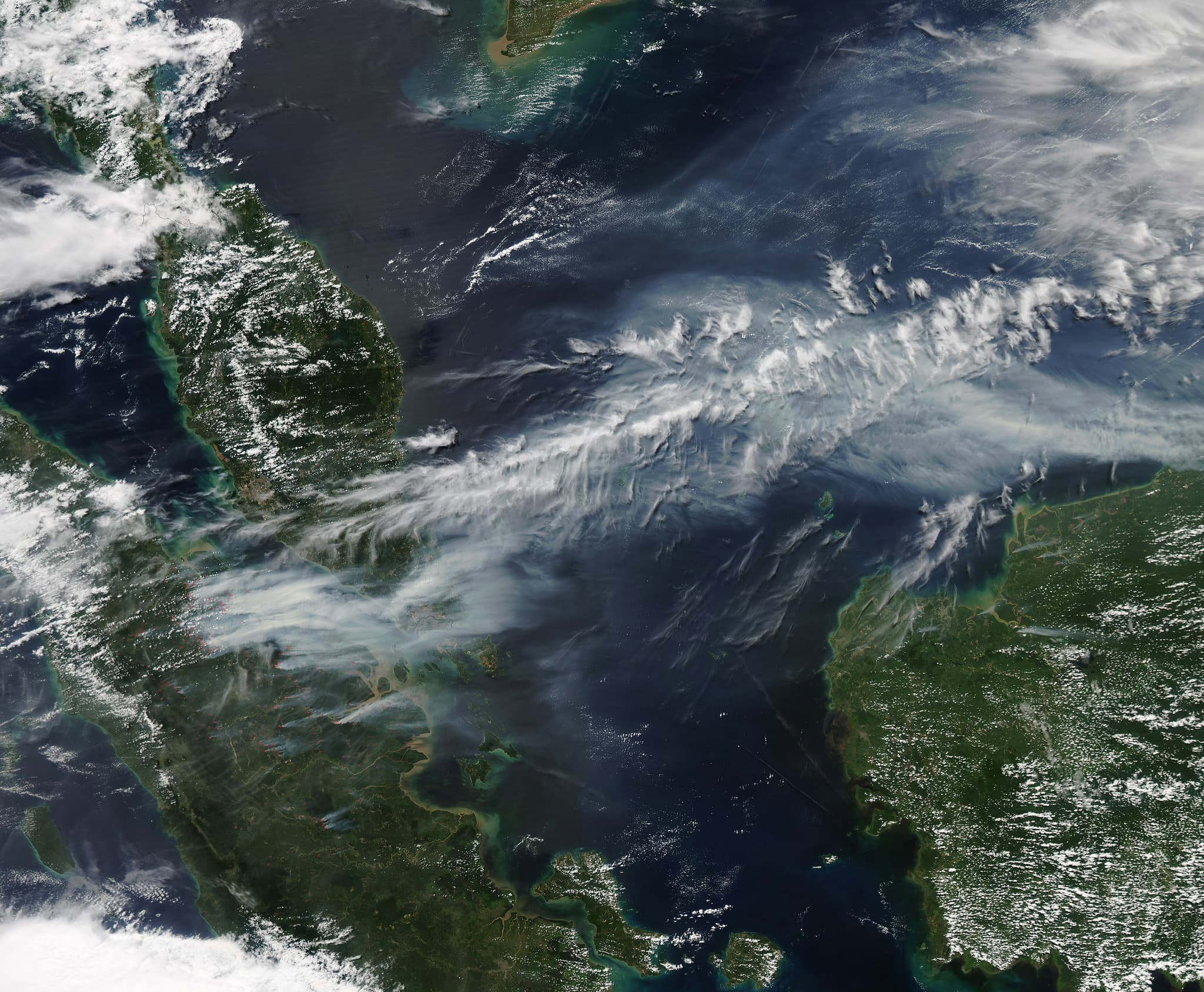
JAKARTA — Indonesia is experiencing its most intense wildfire season in 11 years, with carbon dioxide emissions from fires burning across Borneo and Sumatra now the highest in the world, according to data released Wednesday by Fire Emissions Watch, a portal run by the European Union's Copernicus climate monitoring service.
Fire emissions from Indonesia totaled 19.7 million metric tons from September 1 to September 7, surpassing Russia and accounting for over a third of global emissions for the period. From September 1 to September 7, the fire emission intensity in Indonesia exceeded 1,500 kilograms per square kilometer—more than 10 times higher than Russia's, with the highest concentrations in Kalimantan, Indonesia's section of Borneo, and eastern Sumatra.
The surge is driven by super-El Niño weather conditions that increase temperatures and cause severe droughts. "It's much drier, it's hotter, and when there's ignition, these fires burn in a far more extreme way," said Mark Parrington, a senior scientist at the Copernicus Atmosphere Monitoring Service in Bonn.
Current emissions are 273 percent higher than the seasonal average. However, the 19.7 million tons remain lower than the 21.7 million tons recorded during the same week in 2015, when El Niño conditions were similarly intense.
The city of Pontianak in West Kalimantan has been severely affected, with its air quality index reaching 394 on Wednesday, according to Swiss air quality monitoring firm IQAir—well above the 300 level considered hazardous.
Indonesia's environment ministry said it is monitoring Copernicus data but cautioned that the readings "do not directly reflect air quality conditions in a specific area."
From January to July this year, fires consumed approximately 202,000 hectares of Indonesian land—about one-third of the area burned during the same period in 2015. Nisa Novita of the environmental group YKAN, which assists communities with fire prevention, estimated that August will show around 600,000 hectares burned, primarily in Kalimantan, Sumatra and South Papua. In 2015, Indonesia lost 2.6 million hectares to fire, an area larger than Wales.
The number of recorded hotspots from August 1 to September 8 reached 13,443, compared with 9,454 during the same period in 2015, according to Sipongi, Indonesia's forest ministry monitoring platform that uses data from NASA's Terra and Aqua satellites.


